ProyectoSub
Investigation

Blue Carbon in marshes of central Patagonia

We study how much carbon the marshes of Peninsula Valdés store and what factors explain it, to contribute to coastal conservation and the fight against climate change.

Blue carbon is carbon stored in marine and coastal ecosystems, such as salt marshes, mangroves and seagrass meadows. These environments capture and store large amounts of carbon, both in plants and sediments.

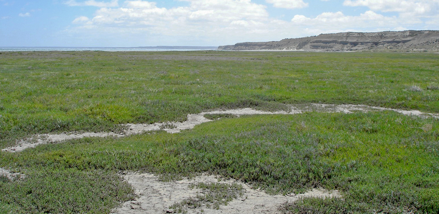
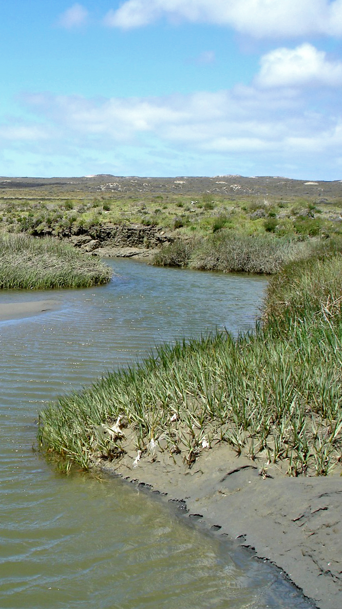
Marshes develop in estuarine and intertidal areas, where the slow movement of water accumulates fine sediments colonized by halophyte vegetation, with Spartina and Sarcocornia among the most representative genera.

They are among the most productive environments on the planet and play a key role in mitigating climate change: they act as sinks, accumulating organic carbon for centuries or millennia. However, when they degrade they can become emission sources.
What are we studying?

We are evaluating the carbon retention capacity in the sediments and vegetation of the marshes of the Peninsula Valdés Protected Area. We collected vegetation and sediment samples, analyzed carbon content and stable isotopes, and estimated the proportion of local (autochthonous) and external (alochthonous) carbon to better understand capture and accumulation processes. In addition, we determine biomass and vegetation cover.

Why is it important?

Many marshes have suffered degradation due to human activity and climate change, the main challenges for their conservation worldwide. Its morphology is altered by natural processes and anthropogenic pressures, and this transformation has accelerated in recent decades.

The conservation of marshes is crucial for biodiversity and for the fight against climate change: they can store more carbon per hectare than many forests, but if they are degraded that carbon is released. With global loss rates between 25% and 50%, understanding how it works is urgent.

Drone mapping: a key tool

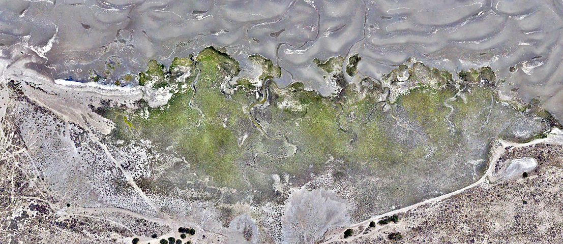
One of the project's innovations is aerial mapping with drones. For the first time we carried out high-resolution spatial surveys in Patagonian marshes, generating detailed maps of the vegetation and geomorphology of the terrain. This allows modeling ecological processes, detecting changes over time and providing data for conservation and management planning.

Aerial image of a marsh in Playa Fracasso, Peninsula Valdés. The dominant vegetation corresponds to the genus Sarcocornia (image courtesy: IPGP-CONICET Geoinformatics).

What do we do at ProyectoSub?

We promote applied research that generates useful information for the conservation of coastal ecosystems. Our objective is to provide concrete data on carbon storage in marshes of Peninsula Valdés, evaluating how vegetation and local conditions influence this process.

Peninsula Valdés is internationally recognized for its ecological value (UNESCO World Heritage, Hemispheric Network of Shorebird Reserves). The information generated will allow us to identify which sites have the greatest storage capacity, which species favor it, and what conditions to maintain or restore.

Institutions involved in this project